


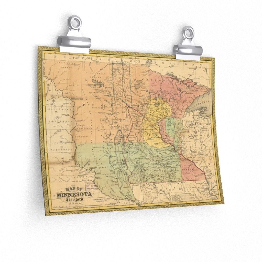
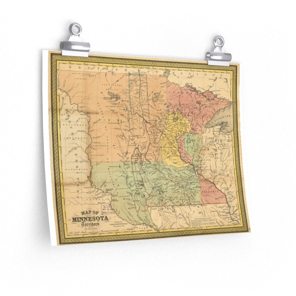
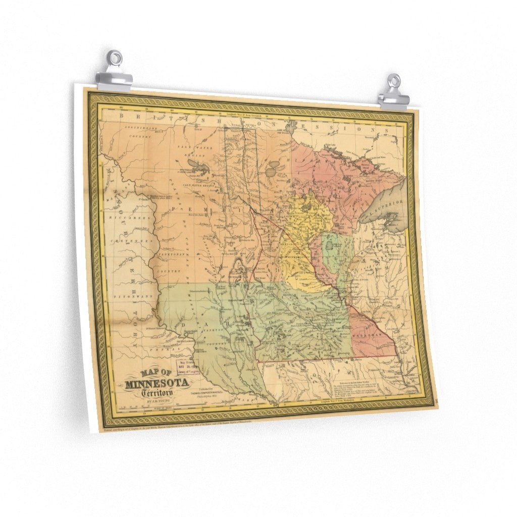
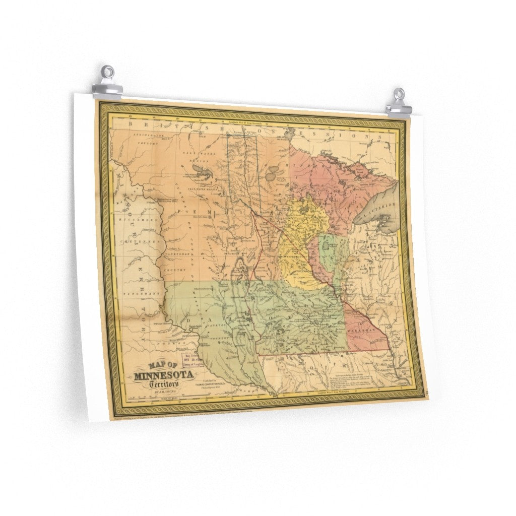
1856 Map of Minnesota Territory
Regular price
$14.00
Shipping cost calculated at checkout
This great poster is a reproduction of a map of Minnesota territory from 1856. Stretching from the Wisconsin border to the Missouri River this new territory was key in our nation's development. Own a piece of history!
Every room deserves to be special. These supreme quality print posters in various sizes serve as statement pieces, creating a personalized environment. Frame these for an even nicer conversation piece!
NOTE THAT THIS POSTER MAY HAVE WHITE SPACE ON BOTH SIDES OF THE PRINTED IMAGE. See images for a close-up view.
.: 175 gsm fine art paper
.: Matte finish
.: Multiple sizes
.: For indoor use